NetMap Watershed Restoration Analysis
NetMap is a new mapping software that is helping the LWC identify areas within our watershed that have the potential to be excellent fish habitat! Check out our Project Manager Jean-Paul Zagarola's webinar presentation below to hear the latest results of our NetMap analysis, and then scroll down further to take a closer look at the projects we have started in those priority streams.
NetMap Projects
The featured projects below are examples of where we focused on stream reaches that have been identified by NetMap as having the potential to provide excellent salmon and trout habitat. Some of the important characteristics of high quality salmonid habitat include cool water temperatures, mature streamside (riparian) vegetation, fallen logs in the river channel, and the presence of gravel in the streambed. For more projects in the region, check out our Upper Luckiamute Focus Area page by clicking here.
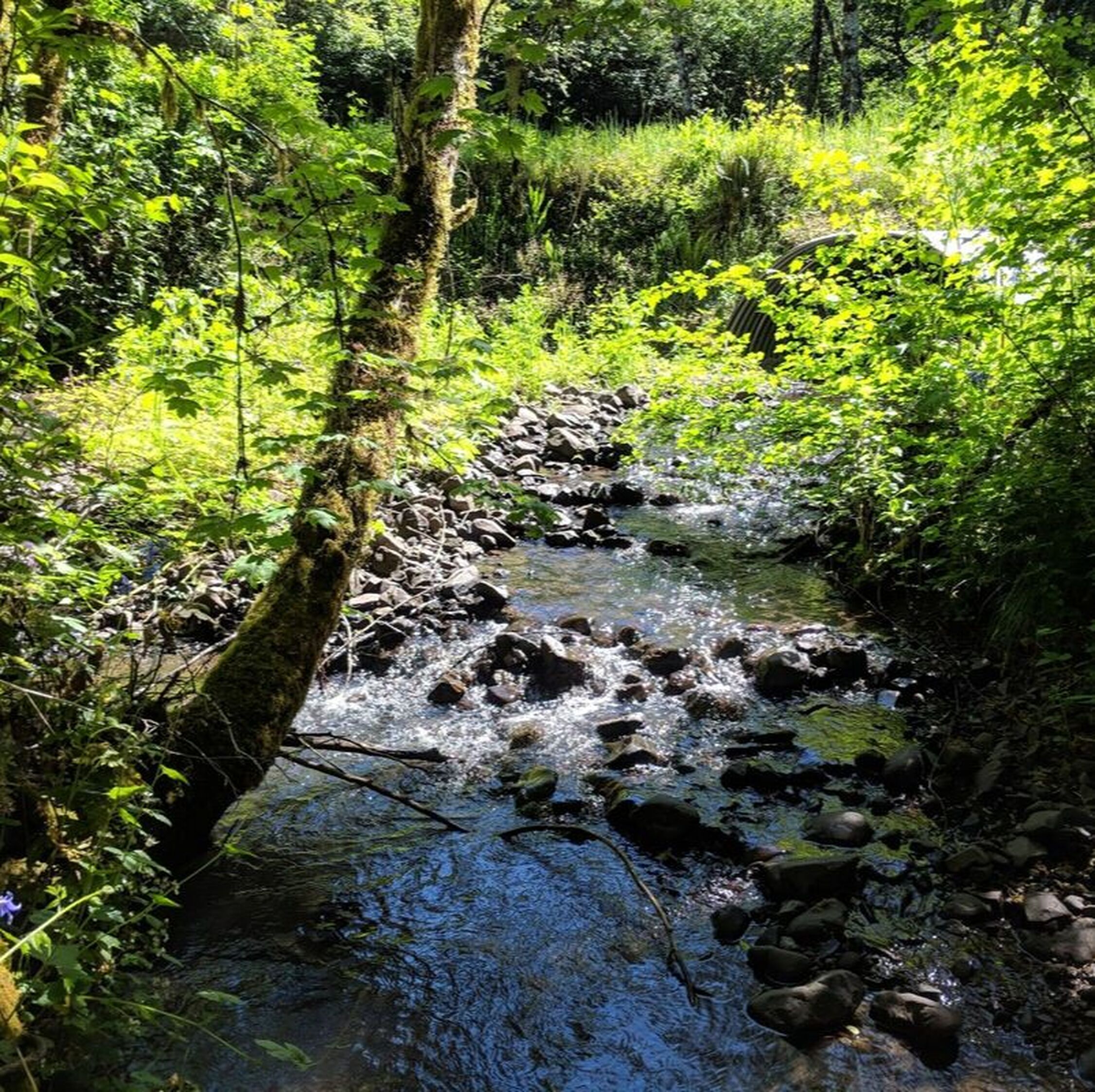
Protecting the Best: Upper Luckiamute Mainstem Anchor Habitat Enhancement

|
Located along the uppermost reaches of the Luckiamute River, Upper Luckiamute Mainstem project focuses on protecting and enhancing some of the best habitat in our watershed for native salmonids and lamprey.
|
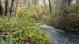
Building Resiliency and Connecting Corridors in Maxfield Creek
|
The Maxfield Creek project aims to restore the health of a two mile stretch of this creek and 26.5 acres of neighboring riparian forest by removing invasive species, planting native trees and shrubs, and equipping the landowners themselves with the tools and knowledge they need to protect their creek’s health beyond the lifespan of this project.
|
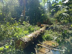
Upper Ritner Creek Splash Dam Recovery
|
Exposed bedrock and the lack of gravel on the streambed are just a few of the issues facing Ritner Creek as a result of historical splash-damming and log drives. Starting in summer 2018, the LWC will work with its partners to set this tributary to the Luckiamute River back on the road to recovery. Project activities will include invasive weed control, in-stream log placement, and conifer plantings.
|