Luckiamute Watershed Council
Spread the word!
  • Home
    • LWC Newsletter
    • Resources >
      • Purchase "Writing Our Watershed" Book
      • LWC Info & Resources
      • Outdoor Recreation
      • Community Science
      • Willamette Report Card
      • FAQs
      • Watershed Health >
        • DEQ Well Testing
        • DEQ Pruebas de Pozos
      • Web Resources
    • Members Only (Log-In Required)
  • About
    • COVID-19
    • Our Council
    • Our Team >
      • Become a Member
    • Our Watershed >
      • History of our Watershed
    • Our Partners
    • Strategic Plan 2019
    • LWC Annual Reports
    • Monthly Meeting Details
    • Board Meeting Minutes
  • Projects
    • Annual Projects Summary
    • Ash Creek Restoration Project
    • Luckiamute State Natural Area Enhancement >
      • Visiting LSNA
      • LSNA Reconnection >
        • LSNA Reconnection Documents
    • Knotweed Control >
      • Knotweed Resources
    • Upper Luckiamute Focus Area >
      • NetMap
      • South Fork Pedee Enhancement
      • Upper Price Creek Restoration Project
      • Maxfield LW Placement
      • Upper Ritner Project
      • Maxfield Creek Restoration
    • Water Quality Monitoring
    • Upper Luckiamute Side Channel Reconnection Project
  • Get Involved
    • Generosity Matters
    • Donate
    • Sign up for Emails!
    • Friends of the LWC >
      • BTS Past Issues
    • Business Circle >
      • Join the Business Circle!
    • Volunteer >
      • Volunteer Alert: Upper Maxfield Conifer Planting
      • Volunteer Safety Guidelines
      • Volunteer Pledge
    • Volunteer Interest Form
    • Join our EnO Committee!
    • Join our Fundraising Committee!
    • Become a Member
  • Events
    • Native Plant Resources >
      • 2021 SWCD Native Plant Sales
    • One Million Plants!
    • Sips and Science: Tribal Lands Management
    • Love Your Watershed (at Home)! >
      • Stay at Home Activities >
        • Community Science
        • Identify Your Watershed
        • Plant ID Apps
        • Educational Films
      • Find A Fish!
    • Event Archives >
      • Sips and Science: LSNA Birds
      • Sips and Science: Plant Nurseries
      • Sips and Science: 20 Years of Restoration
      • Native Plant Workshop
    • Calendar
  • Donate
    • Generosity Matters
    • Join the Business Circle!
    • Donate to the Love Your Watershed Program! >
      • 2020 LYW Fundraiser Results
    • Donor Spotlight 2020
    • Donor Tiers
    • LWC Wish List
  • LWC Store
    • Face Masks
    • Watershed Book

Oh, the Places You'll Go!

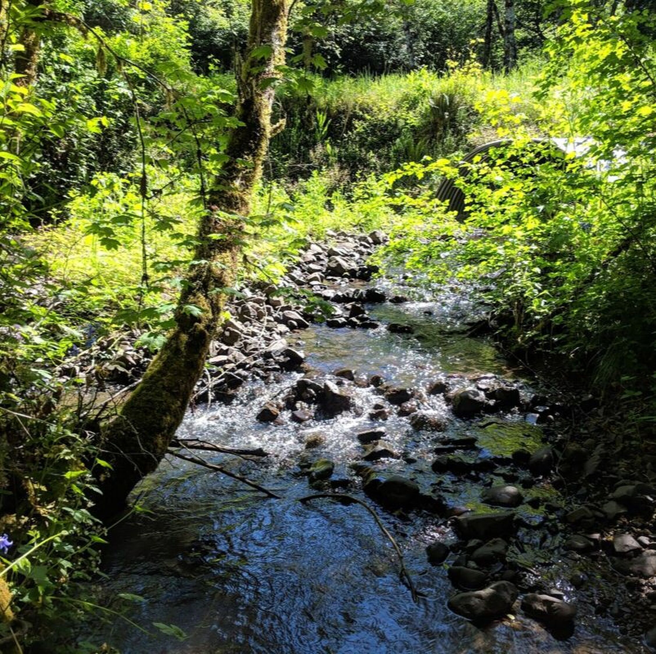
There are a bounty of beautiful outdoor recreation spots in our watershed that are located just minutes from your doorstep. Whether you enjoy hiking along forest trails, kayaking along our rivers, or strolling among wildflower-strewn meadows - we've got it all right here! 
Luckiamute State Natural Area - Whether you enjoy hiking, biking, bird-watching, kayaking or hunting, the Luckiamute State Natural Area should be one of the top destinations on your bucket list. Located just 15 minutes south from Independence.
Sarah Helmick State Park - Established in 1922, Sarah Helmick State Park is Oregon's first state park. It is located just 6 miles south of Monmouth and offers picnic shelters and a rare chance to access the Luckiamute River, with plenty of birds and native plant life to investigate.
Beazell Memorial Forest - Beazell Memorial Forest, a Benton County Park located just outside of Philomath in Kings Valley, is a preserve of temperate rain forest and offers some terrific trail options for hiking and bird watching.
Ritner Creek Park - Located just 4 miles west of the community of Pedee, Ritner Creek Park is a Polk County park that offers a walking trail, picnic areas and fishing in Ritner Creek.
Fort Hoskins Historic County Park - This historic park encompasses the site of Fort Hoskins, established in 1855. Purchased in 1991 by Benton County, this 130-acre site offers picnicking, interpretive displays, self-guided trails, and gorgeous views of the Luckiamute Valley. 
E.E. Wilson Wildlife Area - This 1,700-acre wildlife area, managed by Oregon Department of Fish and Wildlife, occupies a section of Camp Adair, a decommissioned U.S. Army cantonment. It is located just 11 miles south of Monmouth, and offers hiking and fishing opportunities. 
Peavy Arboretum - Owned and operated by Oregon State University, Peavy Arboretum and the surrounding research forest offer many spectacular hiking trails that will take you through old-growth forest, young plantations, alongside Calloway Creek and around Randall Pond.
McDonald-Dunn Forest - This OSU Research Forest was donated to Oregon State University's College of Forestry to serve as a living laboratory and outdoor classroom, as well as refuge for the community to connect with nature and enjoy their favorite outdoor activities.
Valley of the Giants - This remote, 51-acre forest preserve is owned and managed by the Bureau of Land Management, and is one of the last remaining examples of the massive trees that once cloaked the slopes of the Coast Range. **Access roads are difficult to navigate, confusing and may occasionally be restricted by locked gates, so be sure to call BLM's Salem District office first to get the latest driving instructions!**
Riverview Park - Riverview Park is the largest park in Independence and the starting point for the city's Willamette River Trail, a 5k soft-surface hiking and biking path that loops north along the Willamette River providing excellent river views, bird-watching and a new biker/boater campground.
Mt. Fir Inspiration Garden - Located in the City of Independence's Mt. Fir Park, the Inspiration Garden is beautifully maintained by the Polk County Master Gardeners, and includes a children’s garden, bee and butterfly garden, fruit trees, rose garden, wildflower garden, and more!
Little Luckiamute Falls - Cascading down a series of rock ledges, Little Luckiamute Falls makes a beautiful and dramatic centerpiece for the City of Falls City and is well worth a visit!
The following natural areas are just outside the borders of our watershed, but are still very close by and definitely worth the trip!
Baskett Slough National Wildlife Refuge - Managed by the U.S. Department of Fish and Wildlife, Baskett Slough NWR is located just 9 miles north of Monmouth and provides a winter refuge for many thousands of dusky Canada goose, as well as many other water birds. 
Ankeny National Wildlife Refuge - A U.S. Department of Fish and Wildlife managed wildlife refuge, Ankeny provides habitat for wintering waterfowl and other wildlife near the confluence of the Santiam and Willamette rivers. Located about 20 minutes southeast of Independence.
This list is still a work in progress, so if you have any favorite outdoor spots to add or have a suggestion to make, please send an email to Outreach@LuckiamuteLWC.org or give us a call at 503-837-0237. Thank you!
Picture


Luckiamute Watershed Council • Your Land. Your Rivers. Your Community. Your Watershed.