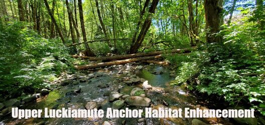
Upper Luckiamute Focus Area
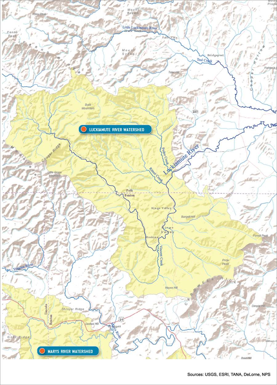
Click to view enlarged map
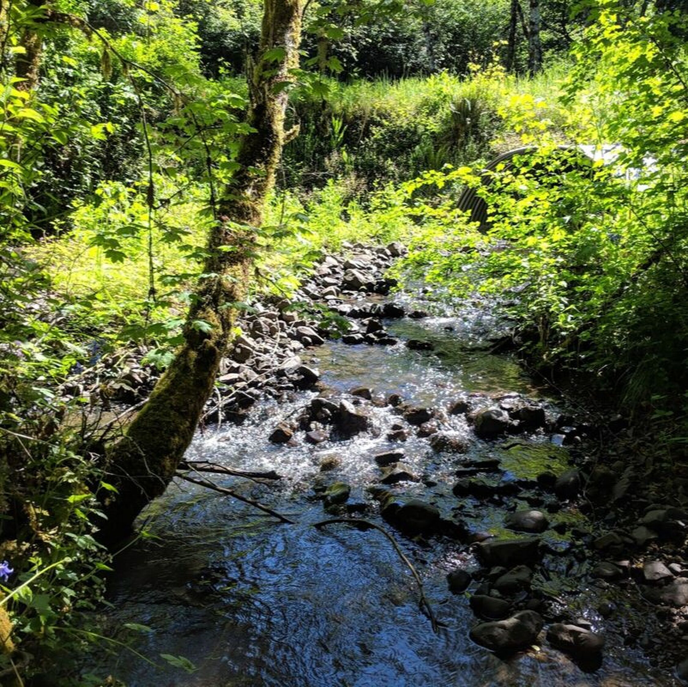
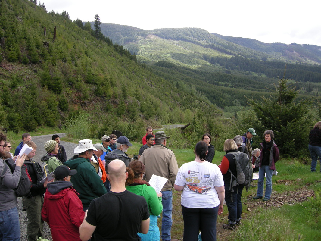
The Upper Luckiamute Focus Area is a series of projects that prioritize the uppermost part of the Luckiamute River and its tributaries. This area, known as Kings Valley, is among the oldest settlements in Oregon and is characterized by its rich tapestry of forests, farms, parks and tight-knit communities. Based on several years of stream survey data, the Luckiamute Watershed Council determined that the Upper Luckiamute offered the greatest potential to restore critical riparian (streamside) ecosystems back to health and recover the native fisheries that flourished here in the past.
Read on below for more details!
Read on below for more details!
How do we select our project sites?
|
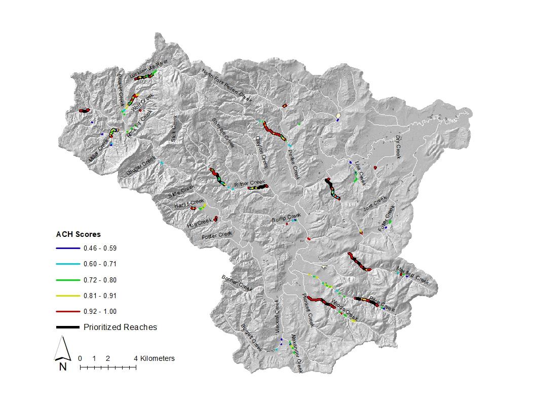
How do we choose where we will focus our restoration efforts? There are several different tools and criteria that we use, but one of the methods we use to help us prioritize our project sites is NetMap. Learn more about this restoration analysis software here.
|
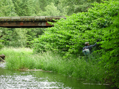
Where are we currently working?
|
Located along the uppermost reaches of the Luckiamute River, this project focuses on protecting and enhancing some of the best habitat in our watershed for native salmonids and lamprey. Click here to read more!
|
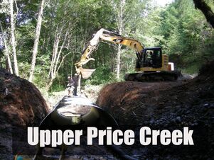
Learn more about how a diverse community of partners is bringing Price Creek back to health by replacing a couple of undersized culverts, placing large wood in the stream channel, and planting conifer seedlings in the riparian area. Click here for project page.
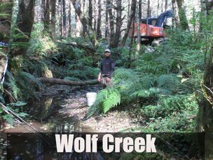
LWC and its partners helped to resolve a fish passage barrier in Wolf Creek by placing large logs above and below an existing culvert. By slowing the stream flow and creating a "jump pool" just below the culvert, the log placements will help juvenile fish pass through the culvert to prime upstream habitat.
*Read about the Wolf Creek Project in our Winter 2016-17 Newsletter!* 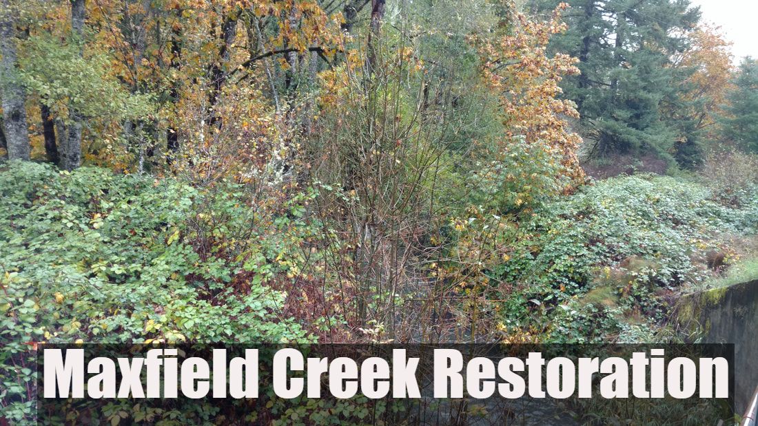
The Maxfield Creek project aims to restore the health of a two mile stretch of this creek and 26.5 acres of neighboring riparian forest by removing invasive species, planting native trees and shrubs, and equipping the landowners themselves with the tools and knowledge they need to protect their creek’s health beyond the lifespan of this project. Click here for more details!
|
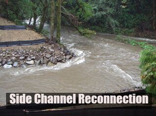
Restoring fish habitat sometimes involves a little extra planning and hard work. In one remote section of the river, we dug out part of an old railroad berm to provide a detour route for fish trying to get upstream. Click on the photo for more info and to see a timelapse video of the restoration process in action!
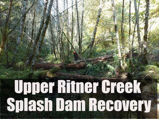
Exposed bedrock and the lack of gravel on the streambed are just a few of the issues facing Ritner Creek as a result of historical splash-damming and log drives. Starting in summer 2018, the LWC will work with its partners to set this tributary to the Luckiamute River back on the road to recovery. Project activities will include invasive weed control, in-stream log placement, and conifer plantings. Click here to read more!

Ritner Creek Park is a tiny county park located in southern Polk County. When an infestation of invasive ivy threatened both the native understory and some of the largest trees, LWC teamed up with Luckiamute Valley Charter School to save the day! Thanks to the students, teachers, a neighboring landowner, and contributions from Polk County and OWEB, the native plant communities of Ritner Creek Park are being restored to health.
|
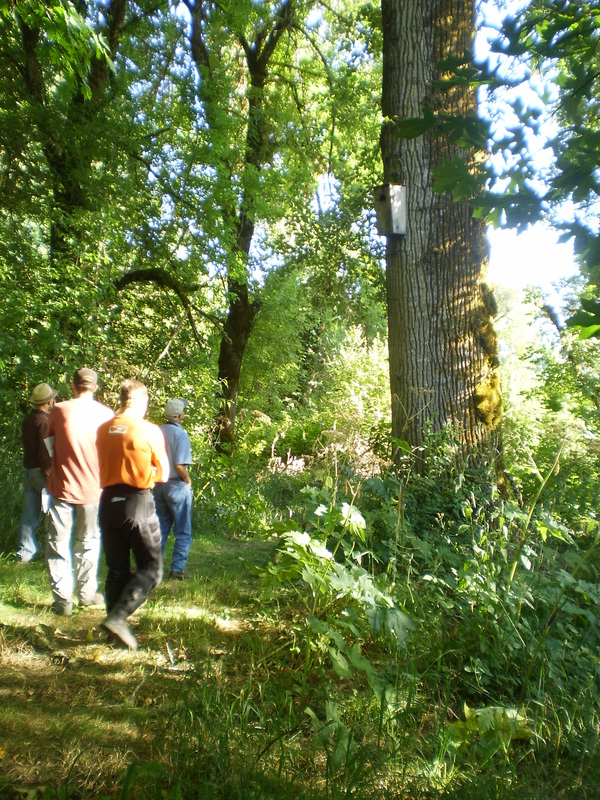
What are we doing?
Large Wood Placement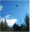
There's nothing quite so dramatic in the restoration business as using helicopters to place large wood in our streams. These huge logs add complexity to stream channels, which greatly improves habitat quality for fish and other aquatic life. Click on the photo to see the video footage!
|
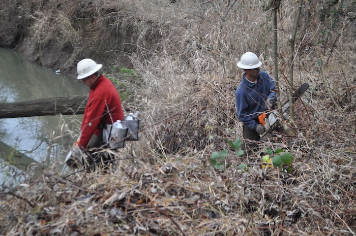
Fish Passage Barrier Removal
Rock dams, culverts and old bridge piers can prevent fish from migrating upriver to their spawning grounds. One of the most satisfying outcomes of our work is seeing fish using new sections of a waterway after removing these old barriers!
|
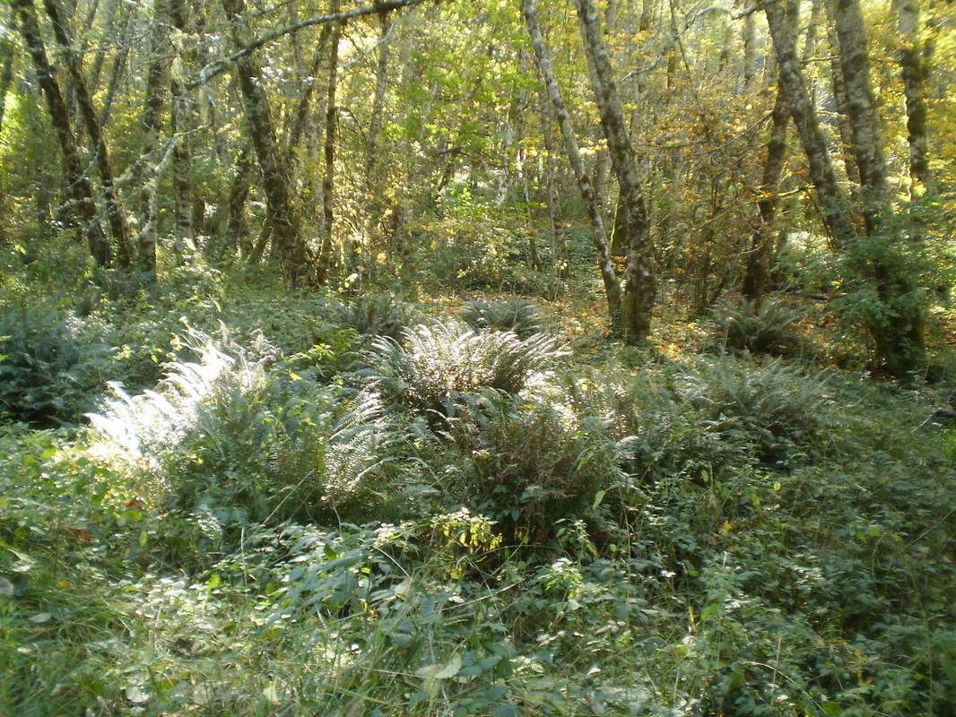
Native Revegetation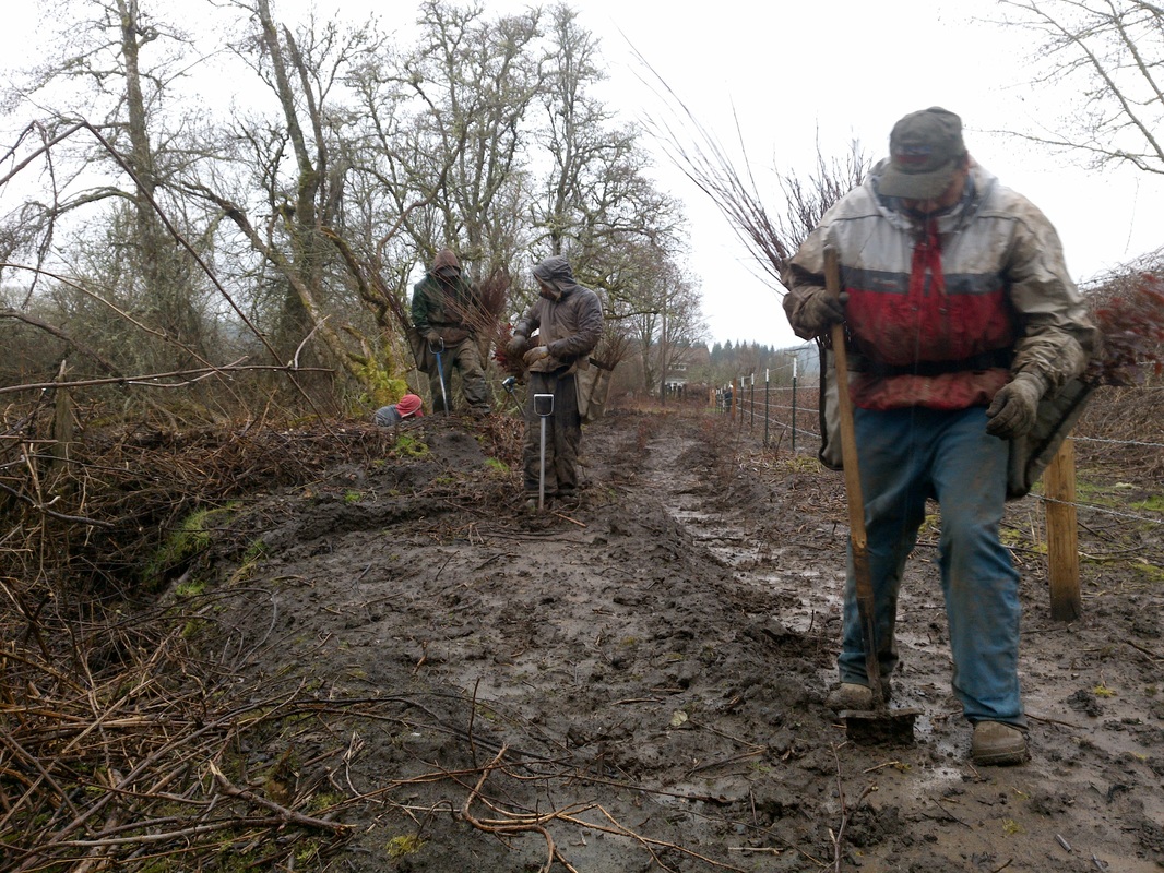
The heart and soul of every restoration project is replanting the streambanks with native vegetation. Native trees, shrubs and grasses provide food and shelter that resident fish and wildlife need to survive and thrive in their habitat.
|
Livestock Exclusion Fencing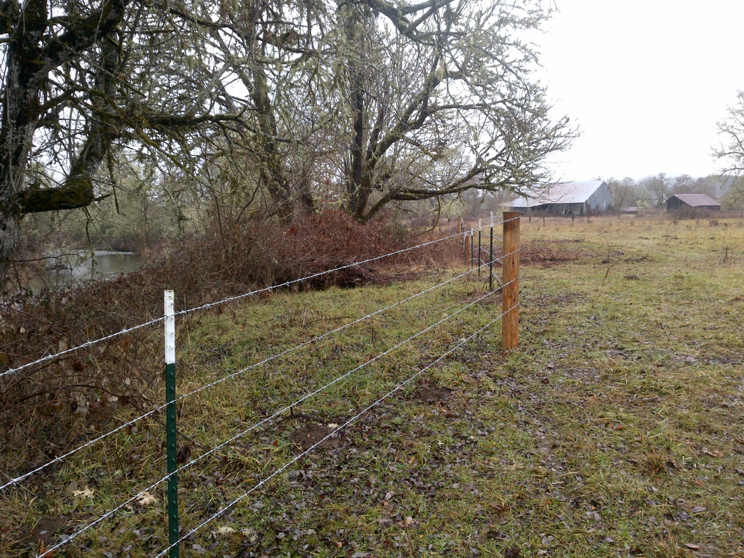
Livestock can cause a lot of damage to riparian habitat by trampling vegetation, compacting the soil, contributing to water pollution and worsening streambank erosion. We are proud of our landowners involved in helping keep livestock out of the streams!
|
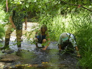
Cool water temperatures are necessary for many types of native fish to thrive in our streams. Temperature loggers help us track temperature changes over time and prioritize areas for future restoration projects. Click on the photo to learn more.
|
Knotweed is an extremely invasive plant that can quickly take over riparian areas, preventing native vegetation from establishing. Click on the photo to find out more about what we are doing to knock out knotweed in the watershed!
|
What have we accomplished so far?
Accomplishments to date:
- 223 acres of conifer enrichment along nearly 20 river miles
- More than 81 acres of riparian revegetation
- 11.5 acres in preparation for planting
- 16 river miles treated for knotweed
- Over 94% landowner participation in our knotweed control program (~63 participating landowners)
- Over 4 miles of cattle exclusion fencing
- 5 fish passage barriers resolved
- Log structures placed in over 3 miles of streams
- Ongoing outreach to landowners and surrounding community through multiple tours and events


Project Background and Partners
The Upper Luckiamute Restoration Project is part of a Willamette-wide initiative to restore the health and ecological function of seven major tributaties to the Willamette River. This project was initiated in 2010 as part of the Model Watershed Special Investment Partnership (SIP), in collaboration with the Oregon Watershed Enhancement Board, Meyer Memorial Trust and Bonneville Environmental Foundation. As the program and funding evolved, the Upper Luckiamute Restoration Project was housed as part of the Willamette River Initiative's Tributary Strategy program. The potential for these rivers and streams to provide quality habitat for salmon and steelhead is high, and restoration efforts are focused on improving channel complexity and fish passage, removing invasive species and restoring native riparian vegetation. Landowner interest in the project is strong and, as a result of extensive field oriented outreach, 94 percent of landowners along the project reach are willing partners in knotweed control, riparian enhancement and monitoring. Our projects could not be completed without the invaluable support and contributions of our partners. Click on the individual project pages above to find out more about these efforts and the partners that help make them successful.
Who is involved?

The involvement of private landowners forms the backbone of the Upper Luckiamute Focus Area. Without their support, we could not accomplish our restoration goals. Thanks to the partnership and support of 94% of the landowners in the project area, we are making progress in reducing the extent of knotweed infestation, replanting native vegetation along the stream corridors, and restoring healthy salmon and steelhead habitat in the Upper Luckiamute River and its tributaries.
Our contractors in the field are the face of the Upper Luckiamute Focus Area. Their skills in identifying and targeting noxious weeds for herbicide treatment, and planting the right species of native trees and shrubs for each of our project sites is what ultimately drives whether we succeed or fail in restoring these habitats to health. Our contractors are overseen by our Project Manager, Jean-Paul Zagarola, who is instrumental in ensuring our on-the-ground activities proceed according to plan.
Often working behind the scenes, our staff members set the course of the Upper Luckiamute Focus Area, and make sure our targets are being met and that our project activities are proceeding according to plan. When landowners call with questions or have ideas they want to share, Council Coordinator Kristen Larson, Outreach Coordinator Suzanne Teller, Monitoring Coordinator Caleb Price and Assistant Project Manager Aubrey Cloud are there to provide the latest information, and to assist landowners with planning water quality improvement projects on their properties.
Our funders, of course, provide the financial support that pays the bills and ensures we have the supplies and labor we need to go about the on-the-ground work needed to place large wood in streams, install cattle exclusion fencing, battle noxious weeds and plant native vegetation.

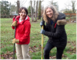
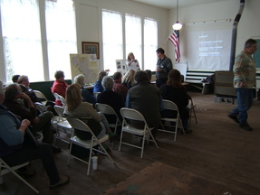
Our volunteers are also an incredibly important part of what makes the Upper Luckiamute Model Watershed Project successful. From the knowledge and insight of our all-volunteer Council Board, to the tireless energy of our network of ad-hoc volunteers, our work would come to a standstill without their dedication and hard work. Kudos to all of our volunteers!
How can YOU get involved?
|
Are you a landowner in the Kings Valley area? Does your property lie alongside a waterway?
|
|
The Luckiamute Watershed Council relies on your financial support to ensure that the voices of our watershed community – your voice—is heard and that your watershed conservation goals are met.
|