Restoring the Health of Maxfield Creek

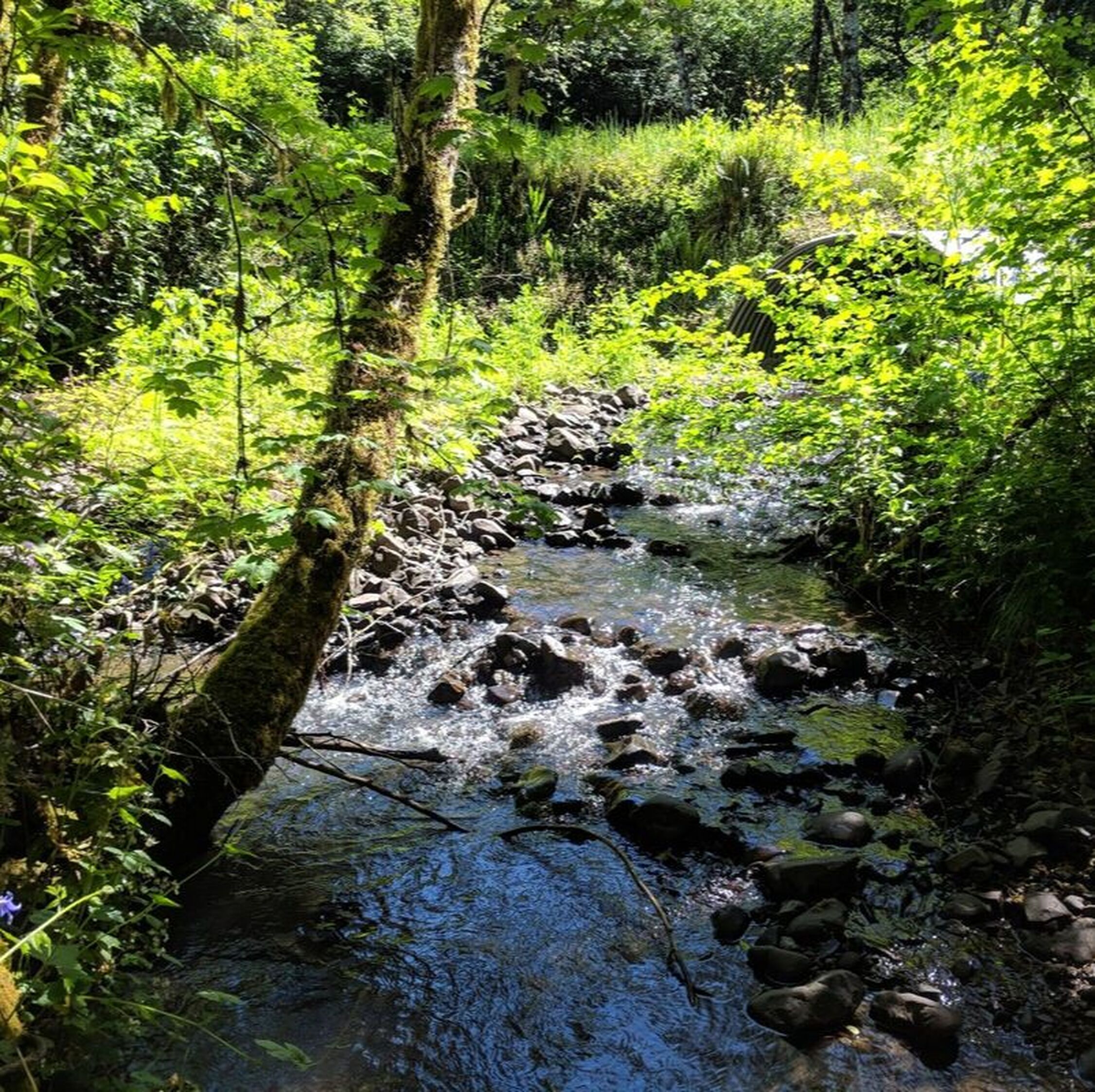
This image is from the 2020 large wood placement by BLM, with a newly-planted conifer in foreground.
|
An oft-quoted truth in any large-scale restoration project is, "it takes a community." The effort to restore the upper portions of Maxfield Creek is certainly no exception. Maxfield Creek is fed by multiple springs and seeps located in the hills east of Kings Valley, and weaves through a patchwork landscape of managed timberlands, riparian forests and farmland before it meets the Luckiamute River just over 2 miles downstream of the junction of Maxfield Creek Road and Kings Valley Highway.
Like many Luckiamute tributaries, Maxfield Creek was historically a network of braided streams until it was channelized into a single channel in the 1900’s. This change in the structure of the river, along with historical practices of logging to the river’s edge and the removal of logs from the creek, has resulted in the loss of gravel, streambed being scoured to bedrock in many places, and a deepened channel that prevents interaction between the floodplain and the creek |
Since 2006, the LWC has been working with local landowners and project partners to address these challenges by removing fish passage barriers, realigning two sections of the adjacent roadway, removing noxious weeds, planting native vegetation, and placing large wood in the stream channel. From 2007 to 2009, the LWC, private landowners, and Bureau of Land Management (BLM) worked together to replace two undersized, perched culverts on Maxfield Creek, realign the road to move it further away from the creek, and to place large wood in the stream. In 2013, the LWC and BLM added additional leftover logs from the earlier project (see video below). Then in 2020, BLM contributed more logs that were added to replenish the wood structures that were in place and further expand upon the aquatic habitat enhancements achieved.
In 2022, North Santiam Watershed Council (NSWC) contributed logs that came from hazard trees removed after the 2020 wildfires, which were hauled and staged with Oregon Watershed Enhancement Board (OWEB) fire recovery funding that had gone to the NSWC. With another OWEB grant, the LWC worked with one of the timber landowners, Sustainable Growth Inc., and timber manager Mason, Bruce & Girard, to install 12 large wood structures downstream of the 2020 BLM log placements. Within this reach, Starker Forests, Inc. implemented further in-stream enhancements on their property and have contributed funds to the noxious weed control work as well. Sustainable Growth Inc. and Mason, Bruce & Girard, with assistance from Benton County and Republic Services, helped to haul away illegal dump site materials.
Below this Upper Maxfield project area, the LWC is working with private landowners on riparian revegetation on much of lower Maxfield (1.95 miles). Benton Soil and Water Conservation District (SWCD) worked with a private landowner to place large wood near the mouth of the creek in 2004 and 2007, and this has resulted in a significant accumulation of gravel - which is an essential component of quality salmon, trout and lamprey spawning habitat. The LWC is continuing to monitor stream temperature in several locations within Maxfield Creek, which will help us better understand how our restoration efforts are making a difference in this crucial aspect of aquatic habitat quality.
Through all of this, we are grateful for our contractors who have designed and implemented all of the elements that have gone into this restoration work. Bonneville Environmental Foundation Senior Project Manager, Jean-Paul Zagarola, has been instrumental in the success of the Upper Maxfield Creek Project with his design, management and coordination skills. Trask Design & Construction carried out the excavator work for the October 2022 large wood placement and removal of the dump site materials, and the large-scale native tree planting and noxious weed control activities are conducted by D. Franco Contracting, Inc.
As a result of these strong partnerships and multiple restoration actions, we are seeing improvement in the health of the creek - including areas where natural creek meanders are once again being created and gravels are able to settle on the streambed to provide macroinvertebrate habitat and spawning sites for salmon, trout, and lamprey!
Watch the video below to witness a dramatic restoration moment - the use of a helicopter to strategically place the large logs donated by Bureau of Land Management (BLM) within Maxfield Creek! This large wood placement took place in 2013.
Click to upload Footer Background below